
Weather · Storms · History · Preparedness
Why Can the Same Hurricane Hit Nearby Baja Communities So Differently?
Nearby Baja California Sur communities can experience dramatically different hurricane rainfall and flood risk. Juliette, Lidia, Hilary, and Norma show why local geography and forecasts matter.
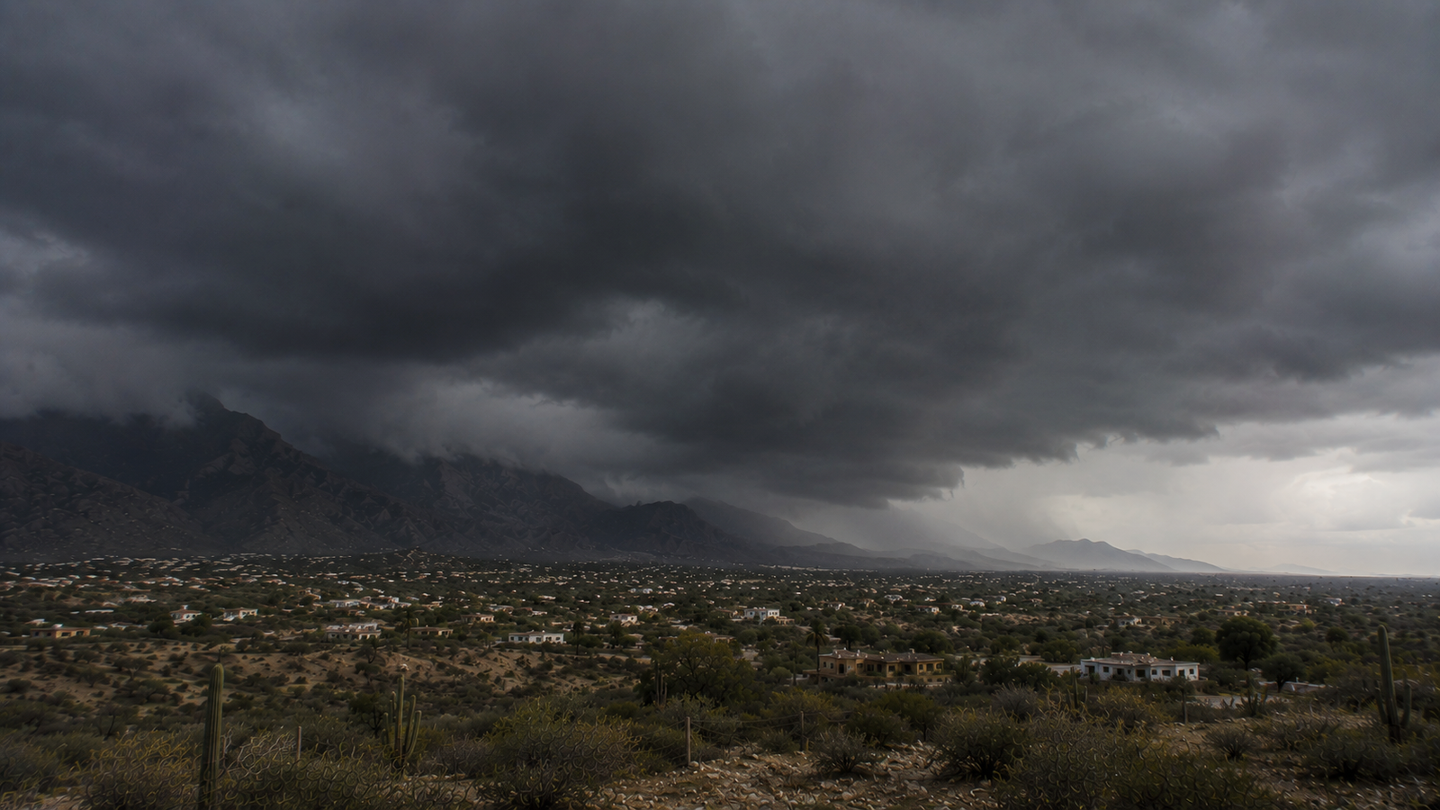
Hurricanes are enormous weather systems, but their effects can be surprisingly local. In Baja California Sur, geography, mountains, storm tracks and individual rainbands can create remarkably different conditions in communities only a few miles apart.
When a hurricane approaches Baja California Sur, we tend to focus on the big picture. Where is the center going? How strong will it be? Is Los Cabos in the forecast cone? Will the storm make landfall?
Those are obviously important questions, but they can also give the impression that everyone in the path of a hurricane is going to experience more or less the same thing. In reality, conditions can vary considerably from one place to another, sometimes over surprisingly short distances.
Hurricane Juliette provided an unusually good example in September 2001. The storm had reached Category 4 strength over the Pacific before weakening as it approached southern Baja California Sur. It moved slowly near Los Cabos and produced several days of extremely heavy rainfall.
Cabo San Lucas recorded 395 millimeters of rain, about 15.6 inches, over a five-day period. At El Sauzal, only about 10 miles away, the total reached 854.5 millimeters, or roughly 33.6 inches. On the other side of Los Cabos, San José del Cabo recorded 432 millimeters, about 17 inches, while Caduaño received 1,011 millimeters, nearly 40 inches.
Those are enormous differences for places that are relatively close together. How can the same hurricane produce more than twice as much rain only a few miles away?
A Hurricane Isn't the Same Everywhere
Satellite imagery tends to make a hurricane look like a single enormous mass of clouds, particularly when the storm is well organized. The actual weather underneath those clouds is considerably less uniform.
Rain is often concentrated in bands that rotate around the center of the storm. Those bands move and change as the hurricane evolves, and there can be areas of lighter precipitation between them. One community may spend hours beneath a persistent band of heavy rain while another nearby location spends much less time under it.
The exact track of the storm matters as well. A relatively small shift can change which locations experience the strongest winds or heaviest rain, and the forward speed of the storm determines how long those conditions remain in place. Juliette moved particularly slowly near southern Baja, giving the storm plenty of time to produce extraordinary rainfall.
If Baja were completely flat, there would still be significant local differences. Baja, of course, is anything but flat.
Baja's Mountains Make Things More Complicated
The mountains behind Los Cabos rise remarkably quickly from the surrounding desert. The Sierra de la Laguna reaches elevations approaching 2,000 meters, even though the coastline is not particularly far away.
When moisture-heavy tropical air encounters mountainous terrain, it can be forced upward. As the air rises, it cools and water vapor condenses, which can increase rainfall along slopes exposed to the incoming moisture. This process, known as orographic precipitation, can have a significant effect on where rain falls during a tropical cyclone.
Research into Hurricane Juliette found some of the storm's highest rainfall totals around the Sierra de la Laguna, particularly along the southern and eastern portions of the mountain range. The mountains were not solely responsible. Juliette's slow movement, track, wind direction, available moisture and placement of individual rainbands were all part of the equation, with the terrain adding another important variable.
This combination helps explain how rainfall from the same storm can vary so dramatically over distances that look insignificant on a map.
More Recent Storms Show How Different Each Event Can Be
Juliette makes a particularly good case study because the differences were so dramatic and the observations around southern Baja California Sur were well documented. It happened in 2001, however, which puts it outside the personal experience of many people currently living in BCS.
Tropical Storm Lidia provides a more recent example from 2017, although in an interestingly different way. CONAGUA's preliminary measurements over a 36-hour period showed 446 millimeters of rain in Cabo San Lucas and 420 millimeters in San José del Cabo. Instead of the huge local differences seen during Juliette, the two cities received remarkably similar amounts.
There isn't a simple rule saying one side of Los Cabos will always receive more rain than another, or that a particular community will always be sheltered or exposed. The outcome changes with each storm. Lidia is also a useful reminder that the category assigned to a tropical cyclone does not tell us how much rain it will produce. Despite being a tropical storm rather than a major hurricane, it delivered extraordinary rainfall across Los Cabos.
Read more: Why the Hurricane Scale Doesn't Tell the Whole Story →
Hurricane Hilary Provided a More Recent Example
Hurricane Hilary brought the issue into focus again in August 2023, this time farther north on the peninsula. Official rainfall observations within the municipality of Mulegé showed considerable variation from one location to another.
San Lucas Norte recorded 326 millimeters of rain, while San Bruno received 285 millimeters and Santa Águeda recorded 276 millimeters. The Santa Rosalía observatory measured 219 millimeters, while Mulegé itself recorded 135 millimeters.
For some perspective, Baja California Sur's 1991–2020 average annual rainfall is only about 181 millimeters. Hilary therefore delivered considerably more than an average year's worth of rain at some locations during a single storm.
Explore Hurricane Hilary in BajaStorms' storm history →
The geography was different from Juliette's Los Cabos example, as were the storm track and circumstances, but the lesson was similar. Even a forecast for a single municipality cannot necessarily tell you what conditions will be like in a particular community.
Then Came Norma
Only two months after Hilary, Hurricane Norma approached southern Baja California Sur and produced another round of exceptional rainfall. CONAGUA's post-storm observations included 488 millimeters at El Quemado, 480 millimeters at San Vicente de la Sierra and 473 millimeters at La Palmilla.
Every tropical cyclone arrives with its own combination of size, intensity, forward speed, track and internal structure. Wind direction affects where tropical moisture is carried, individual rainbands determine where some of the heaviest precipitation occurs, and Baja's terrain influences what happens when all that moisture reaches land.
Explore Hurricane Norma in BajaStorms' storm history →
Rainfall Isn't the Same Thing as Flood Risk
There is another complication that matters a great deal in Baja California Sur. The amount of rain falling directly over your community is not necessarily the amount of water your community will eventually have to deal with.
Rain falling in the mountains drains toward lower elevations and can quickly collect in arroyos. A community experiencing relatively modest rainfall can therefore face runoff produced by much heavier rain that fell several miles away and at a much higher elevation.
This is particularly important in an arid environment where drainage channels may remain completely dry for long periods. During a tropical cyclone, those same channels can suddenly be carrying enormous amounts of water from elsewhere in the watershed. It is one reason looking outside is not necessarily a good way to judge flood risk. Conditions where you are may not tell you what is happening farther upstream.
See BajaStorms' hurricane preparedness resources →
Why Local Forecasts Matter
There isn't one simple answer to why nearby communities can experience the same hurricane so differently. Hurricanes do not distribute their wind and rain evenly, their structure changes constantly, and relatively small differences in track can affect which areas receive the worst conditions. In Baja California Sur, all of that is happening over a landscape that can rise from sea level to substantial mountain elevations over a fairly short distance.
There also isn't a pattern that applies reliably from one storm to the next. A location that received the worst of one hurricane may fare very differently during the next one, even if the tracks appear similar on a map. This is why local conditions become increasingly important as a tropical cyclone approaches.
Knowing that a hurricane may affect Baja California Sur is important, but the state is large and geographically complicated. Even knowing that Los Cabos is likely to receive heavy rain does not necessarily tell someone in Cabo San Lucas, San José del Cabo, the East Cape or one of the nearby mountain communities exactly what to expect.
The storm's category and forecast track provide part of the picture, but they cannot completely describe what will happen in every community along the way. When the next tropical cyclone approaches Baja, the question isn't simply how strong it will become or how close the center will pass. For anyone living here, there is another question that matters just as much: What is this storm likely to do where I am?
Sources
- Tropical Cyclone Report: Hurricane Juliette (EP112001) — National Hurricane Center
- Tropical Cyclone Report: Hurricane Hilary (EP092023) — National Hurricane Center
- Tropical Cyclone Report: Hurricane Norma (EP172023) — National Hurricane Center
- Hydrological Information System — CONAGUA
- Socioeconomic impact of Mexico's major disasters in 2001 — CENAPRED
- Occurrence of landslides during the approach of Tropical Cyclone Juliette (2001) to Baja California Sur, Mexico — Atmósfera
- Regional observations during the landfall of Tropical Cyclone Juliette (2001) in Baja California, Mexico — Monthly Weather Review